
When a Swarm Reaches the Road: Route Conditions on the Map
- Wednesday, September 30 2026
- Contributed by: Takeshi Miyaoka
- Views: 27
DEVELOPMENT SNAPSHOT #41
A swarm can cast a shadow beyond the fields and onto the roads connecting a kingdom. We are building a way to track which route segment is affected—and for how long—as data the game can reason about.
Explore the development build / Support game development
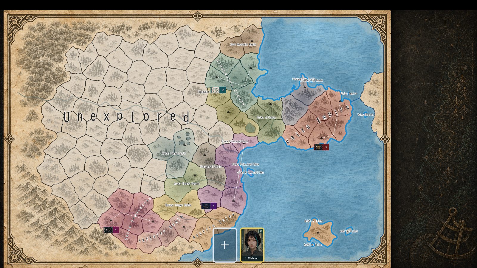
When danger passes, the road can still remember

If an event affects transport, “the road was dangerous” is not enough detail. Which segment? From what date to what date? Does it affect capacity, speed, or cargo loss? Route effects are stored with a source event, a route segment, and a bounded time window so the simulation can answer those questions.
The invasion-impact planner measures how much of a route lies inside an affected polygon, then combines that ratio with severity, terrain exposure, and defense. It plans effects per segment and uses stable identifiers so the same event and road do not create duplicate effects.
Tools for finding a way through
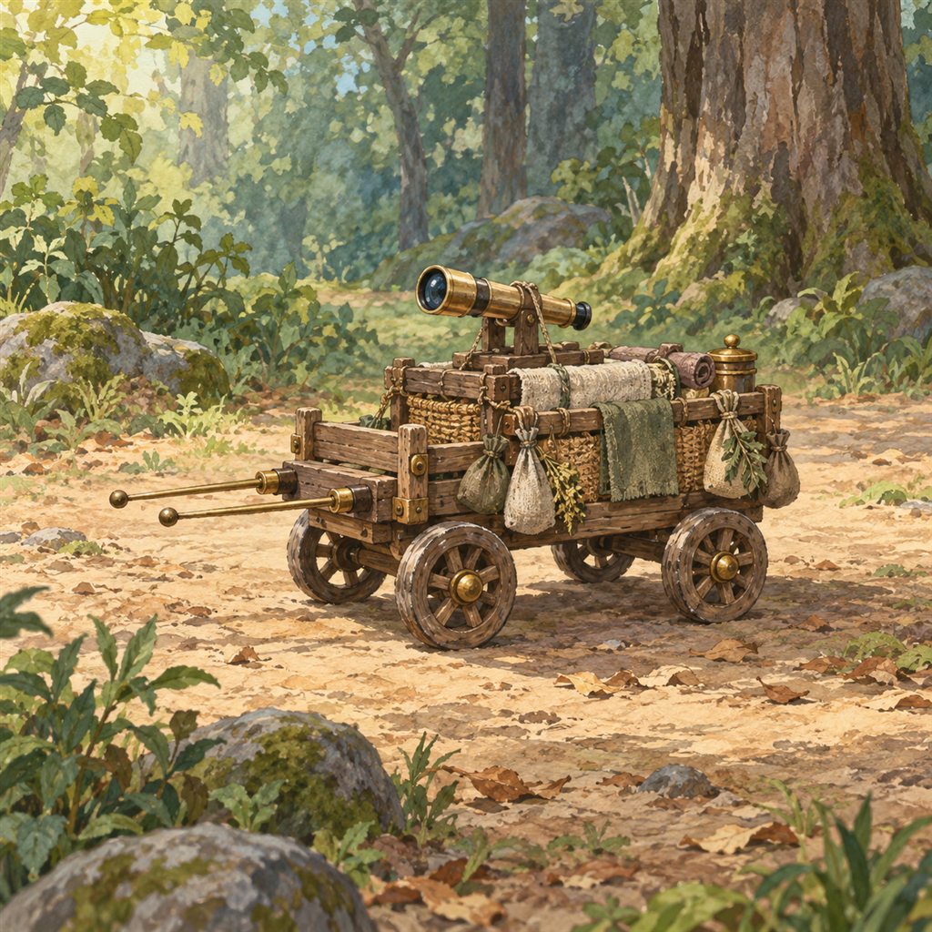

On the map, closed routes use a red dashed line, reduced-capacity routes an amber dotted line, and adopted detours a teal line. Route details include the cause, remaining days, effective capacity and speed, and additional loss. When effects overlap, capacity and speed factors stack separately, as do additional losses.
This is the foundation that connects event-shaped impacts to route state, map rendering, and transport calculations. It does not mean every event is already wired into this flow; gameplay coverage and balance are still being developed and verified.