
DEVELOPMENT SNAPSHOT #45 — A Brass Dial for the Map: Zoom and Distance at a Glance
- Monday, October 05 2026
- Contributed by: Takeshi Miyaoka
- Views: 23
Pull back to see a continent, then zoom toward a road. The small brass-toned scale dial in the lower-left of the map helps answer two quick questions: how far in are we zoomed, and what distance does this view represent?
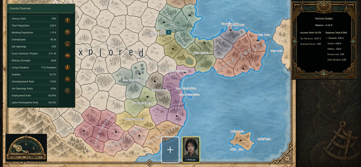
The dial’s upper arc offers 1×, 2×, and 3× zoom presets. A bright ring marks the selected preset, while the needle moves smoothly with the current zoom. Click a preset mark to change the view; click 2× or 3× again to return to 1×. This is a map-view control, not a system that changes a faction or the economy.
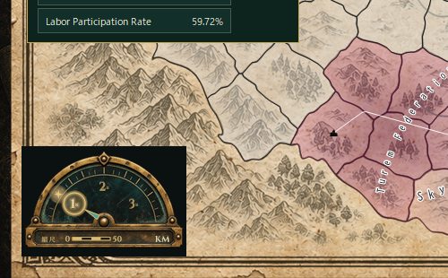
The distance bar below adapts its length and value to the width currently in view. Under the KM label, it chooses an easy-to-read 1–2–5-style distance and divides the bar into alternating gold and dark segments. As the map zoom changes, the scale readout follows the new view.
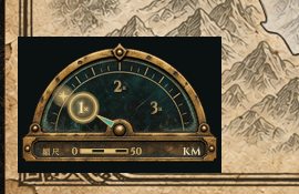
Zoom in to study a detail; pull back to read the larger geography. This compact dial is a small UI cue designed to make that transition feel as intuitive as checking a compass.
If you enjoyed the previous snapshot, read how resource cards become a trade treaty.
Find the game’s release information on the downloads page.
When surveying a vast continent, do you zoom out first to take in the whole picture—or zoom in and follow the roads?